|
Static Maps |
Interactive Maps |
|
Reference Maps - Parcel Maps - WUN Trees - WUN Lights - WUN Dumpsters - Other Maps |
|||||
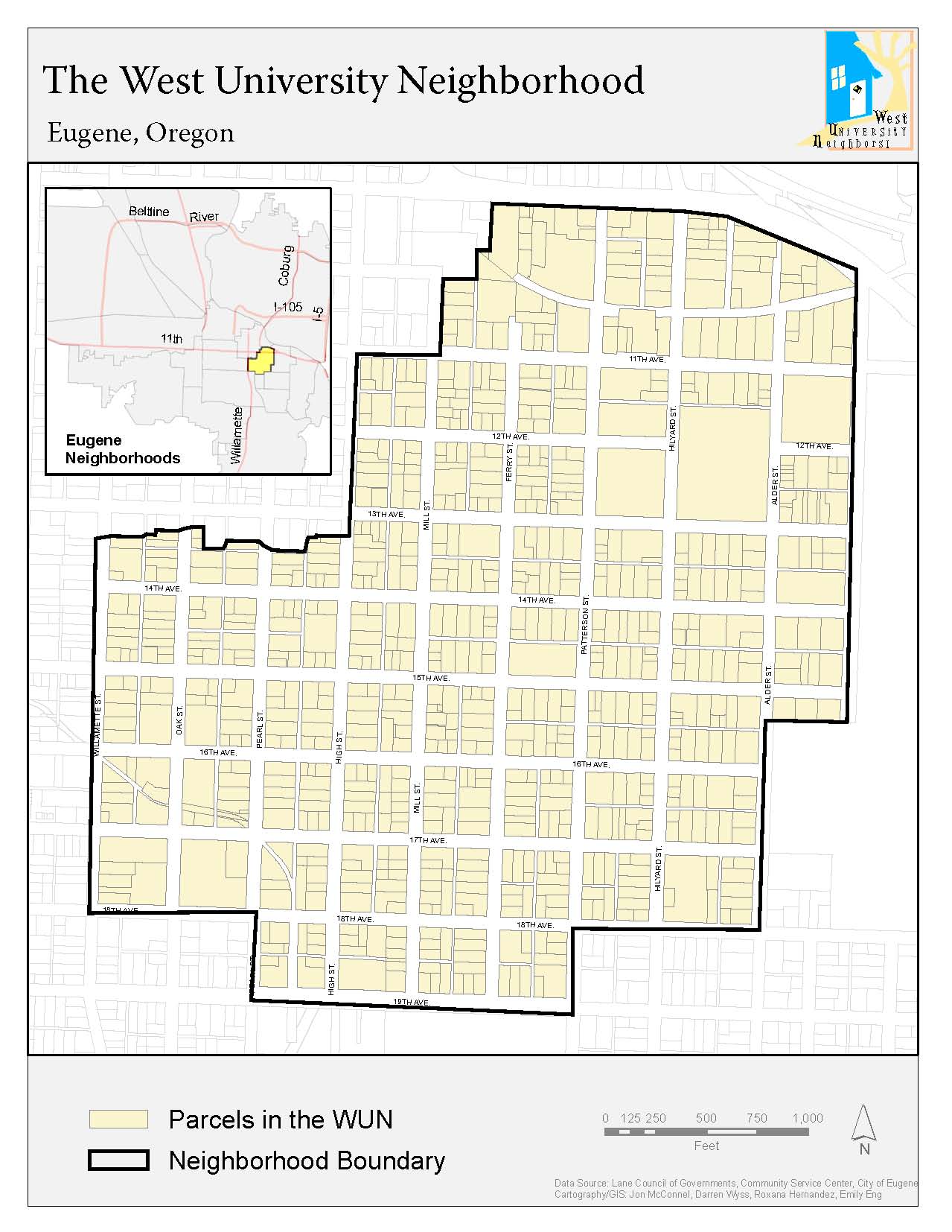
| Reference Maps | |||||
|
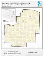
General Locator
|
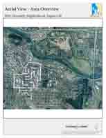
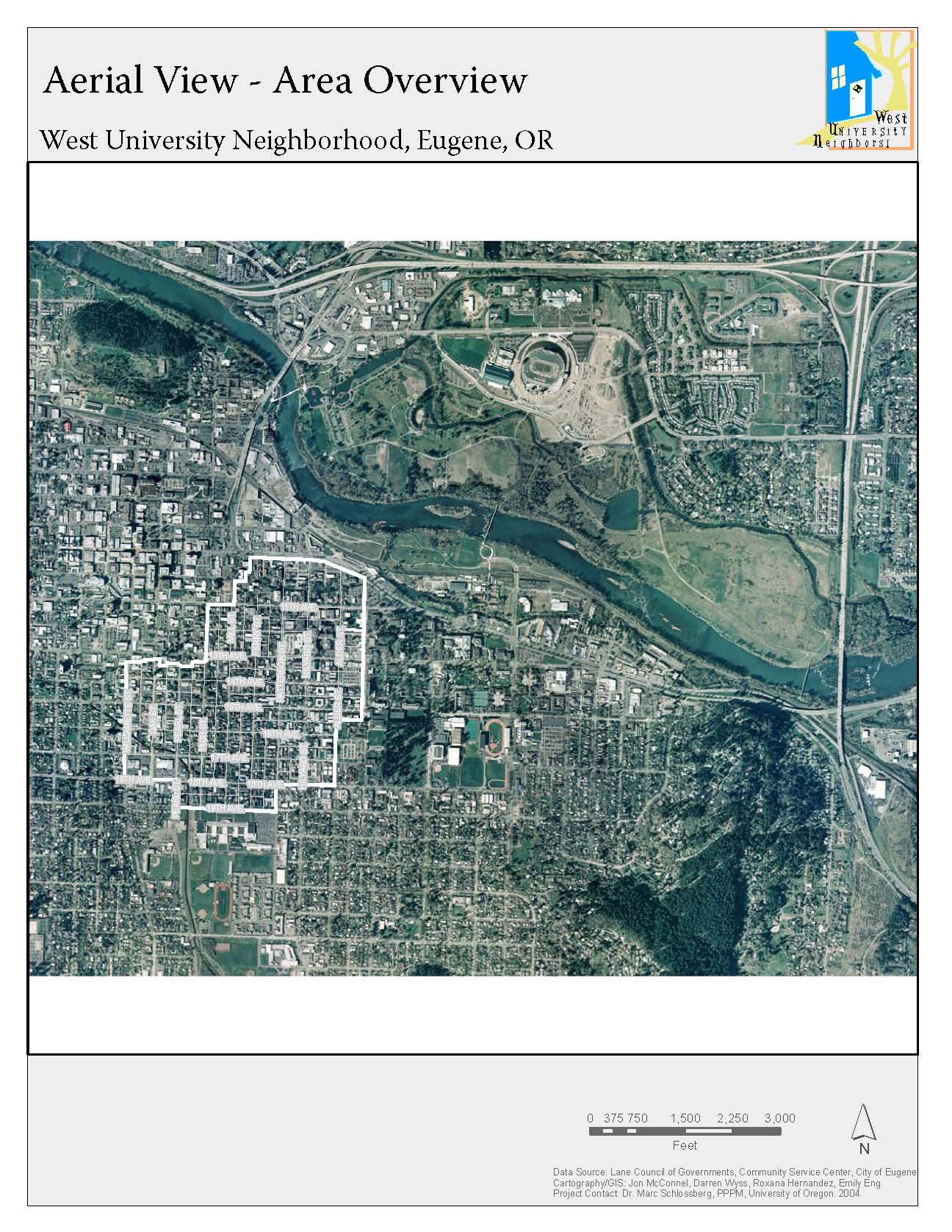
Regional Air Photo
|
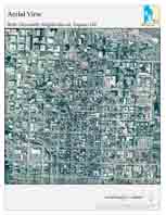
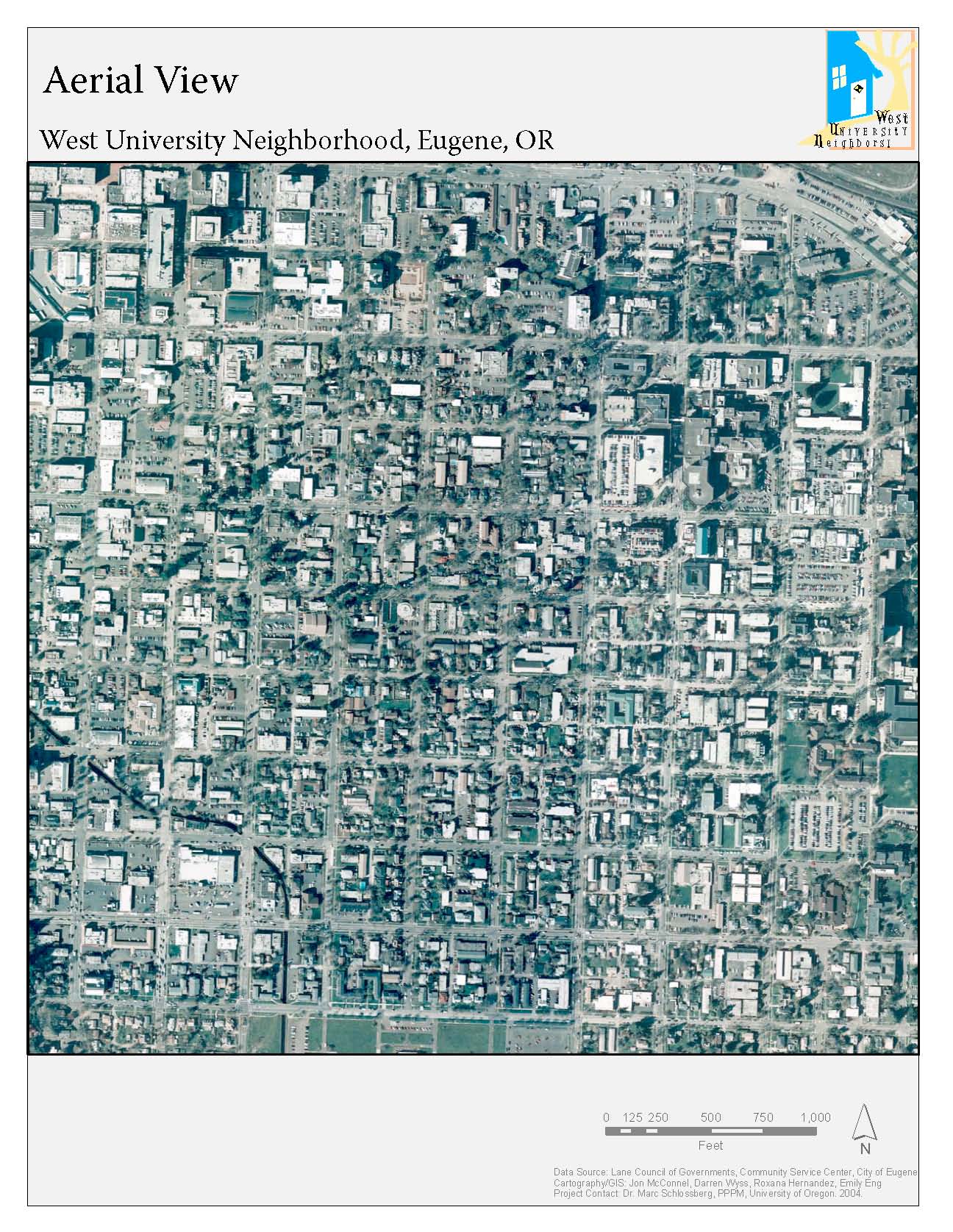
WUN Air Photo
|
|||
|
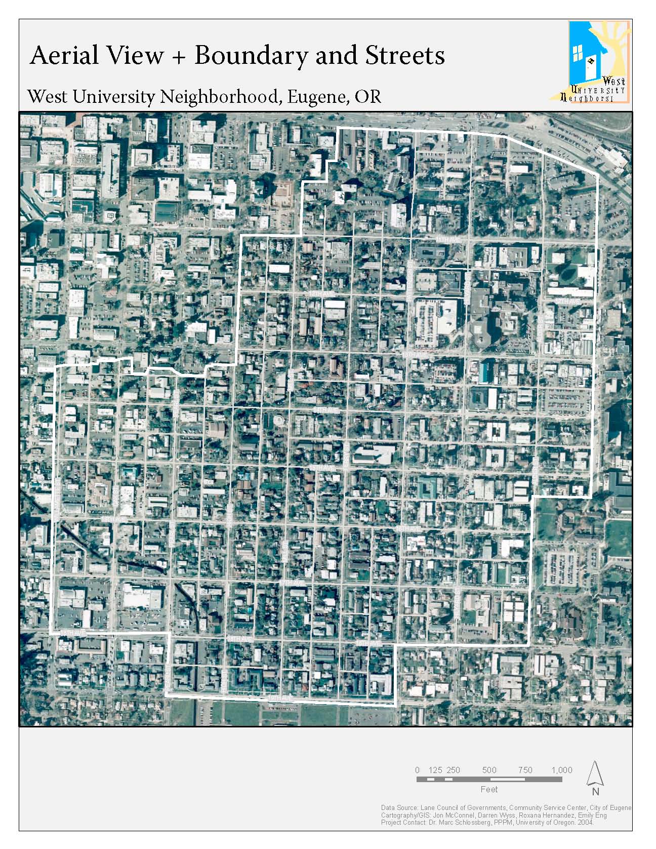
WUN Photo w/ streets
|
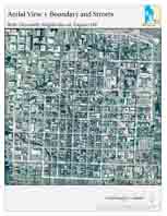
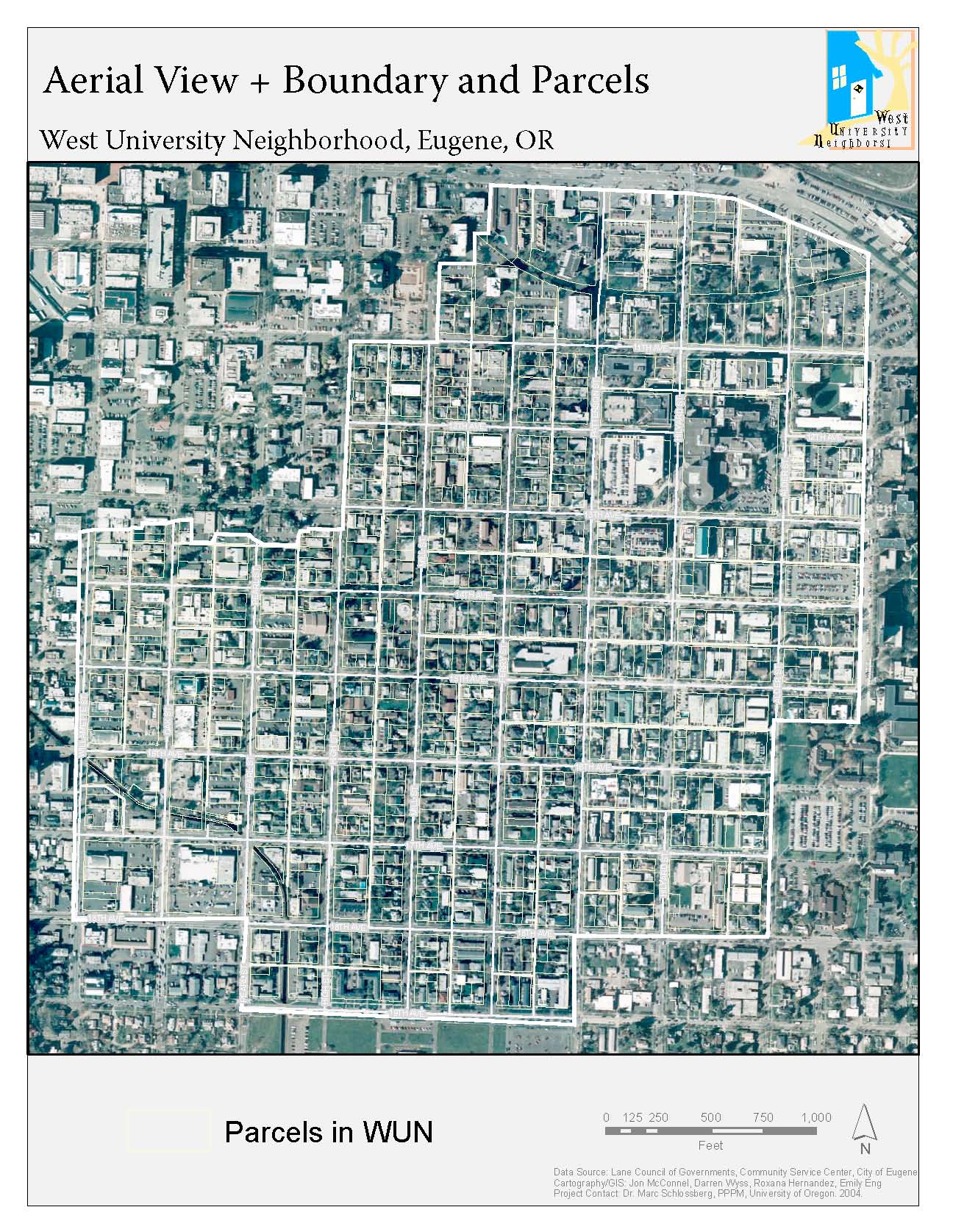
WUN Photo w/ Boundaries
|
|
|||
|
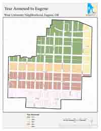
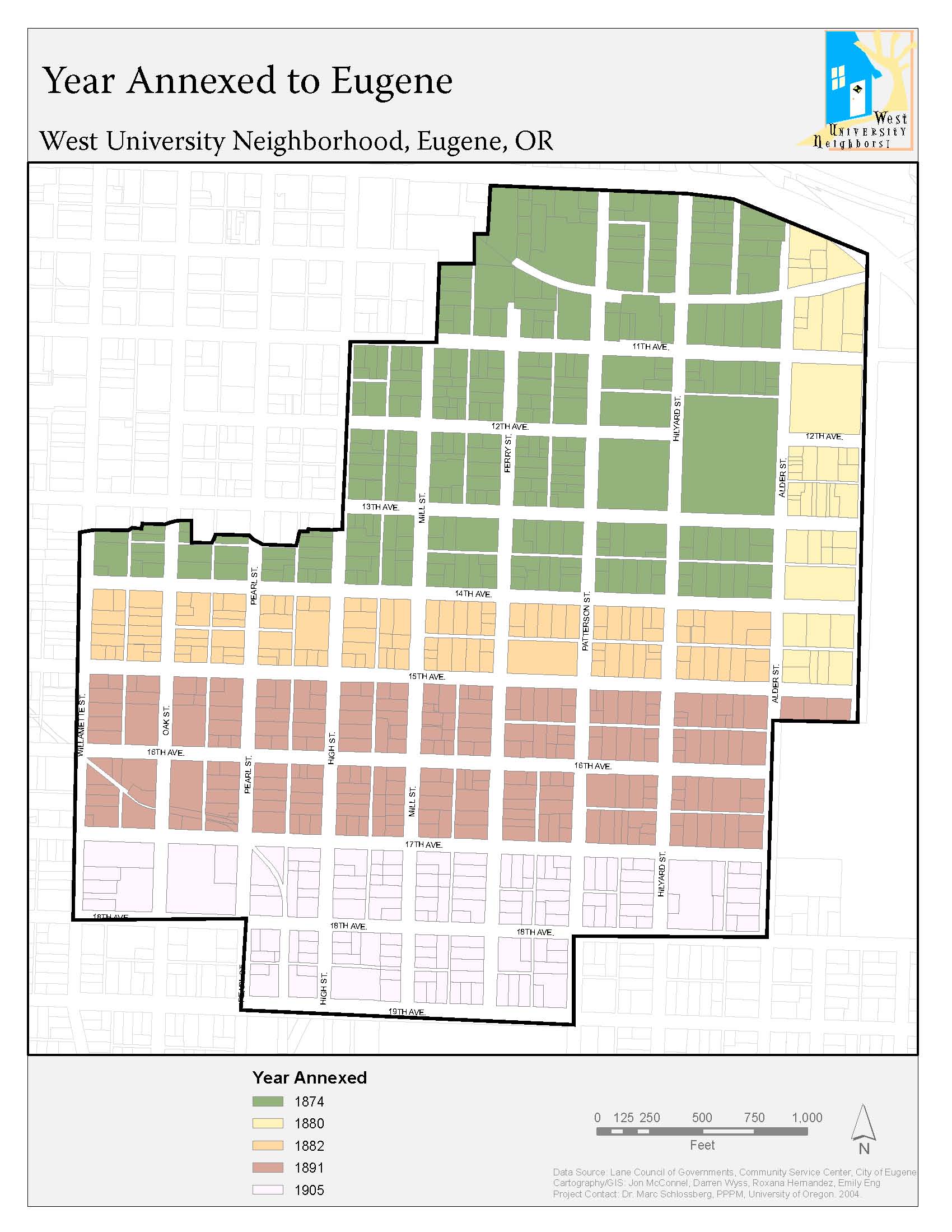
Parcels Year Annexed
|
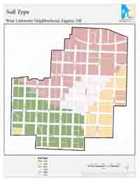
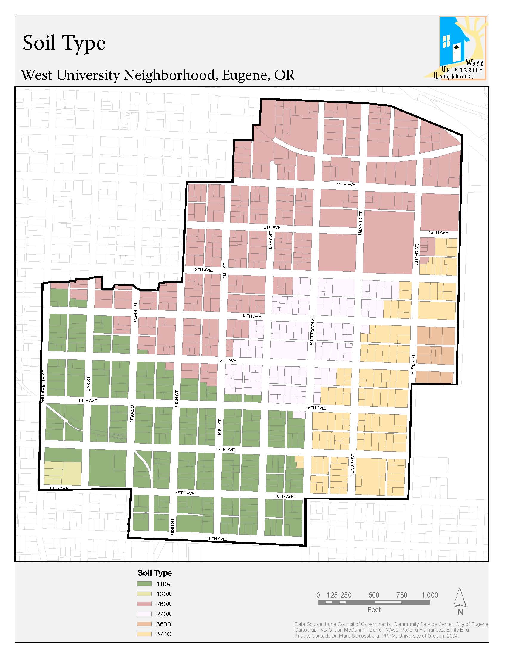
Parcels Soil Type
|
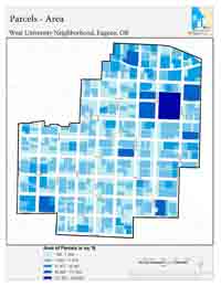
Parcels Area
|
|||
|
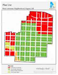
Parcels Land Use
|
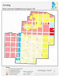
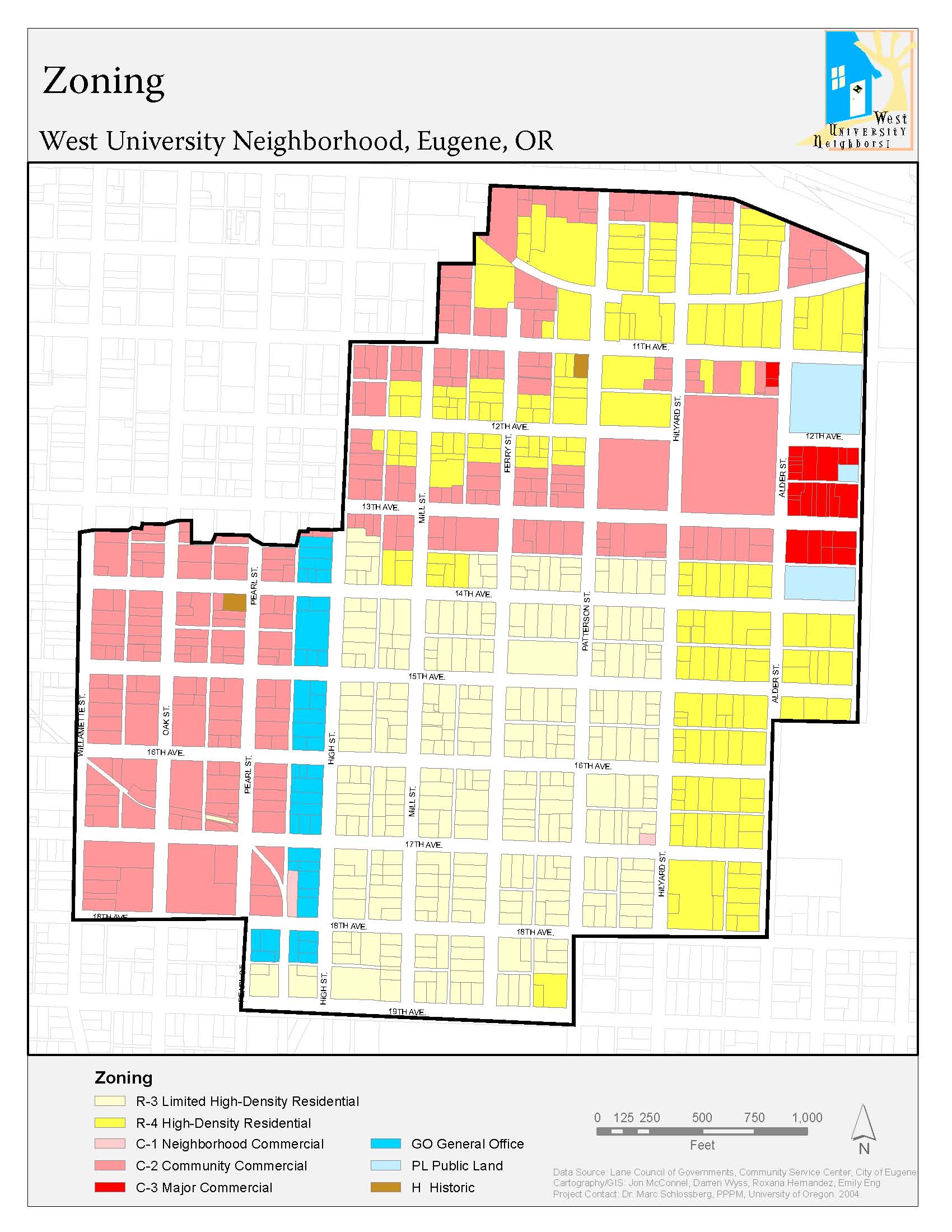
Parcels Zoning |
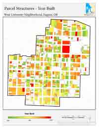
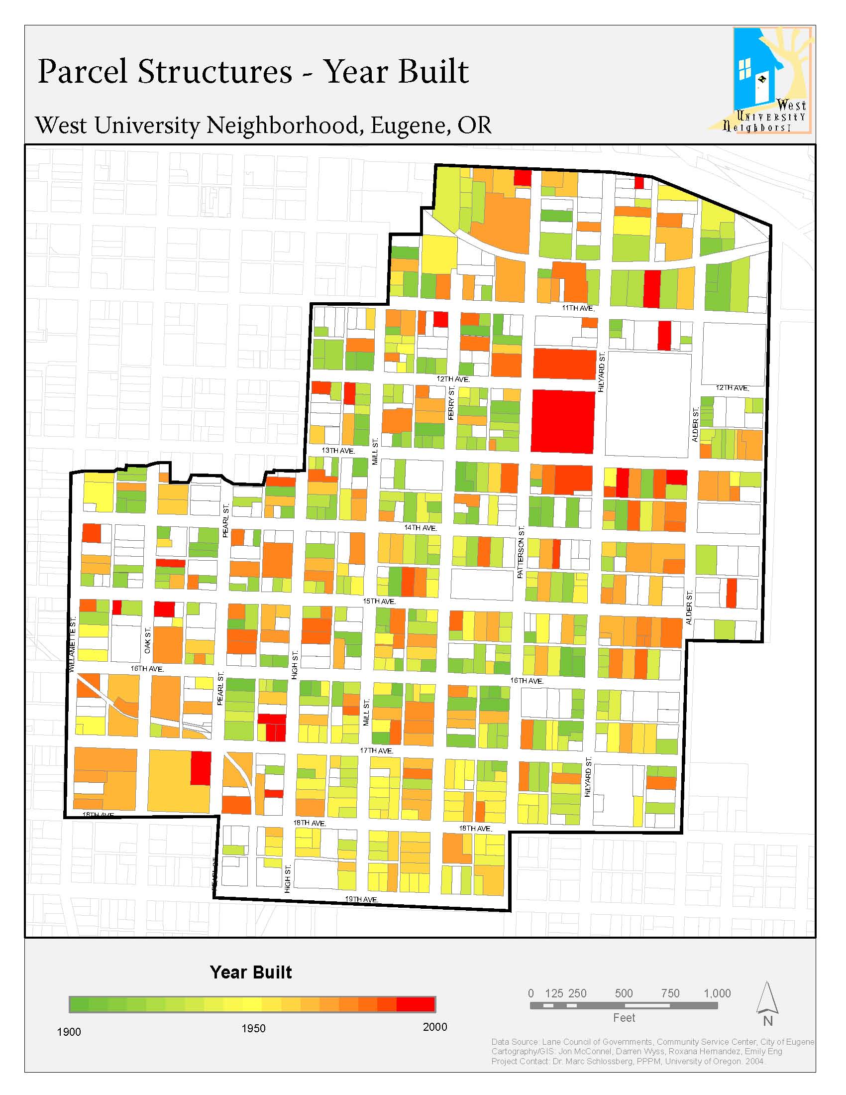
Year Built
|
|||
|
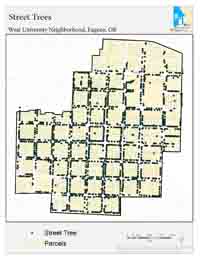
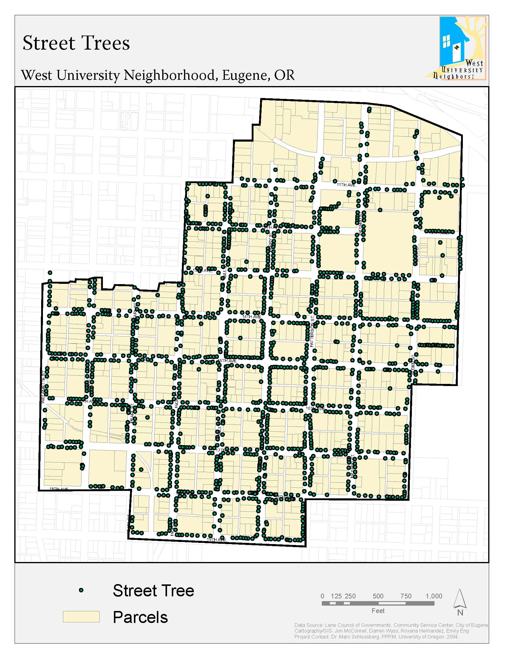
Street Trees
|
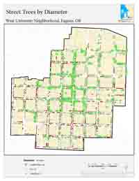
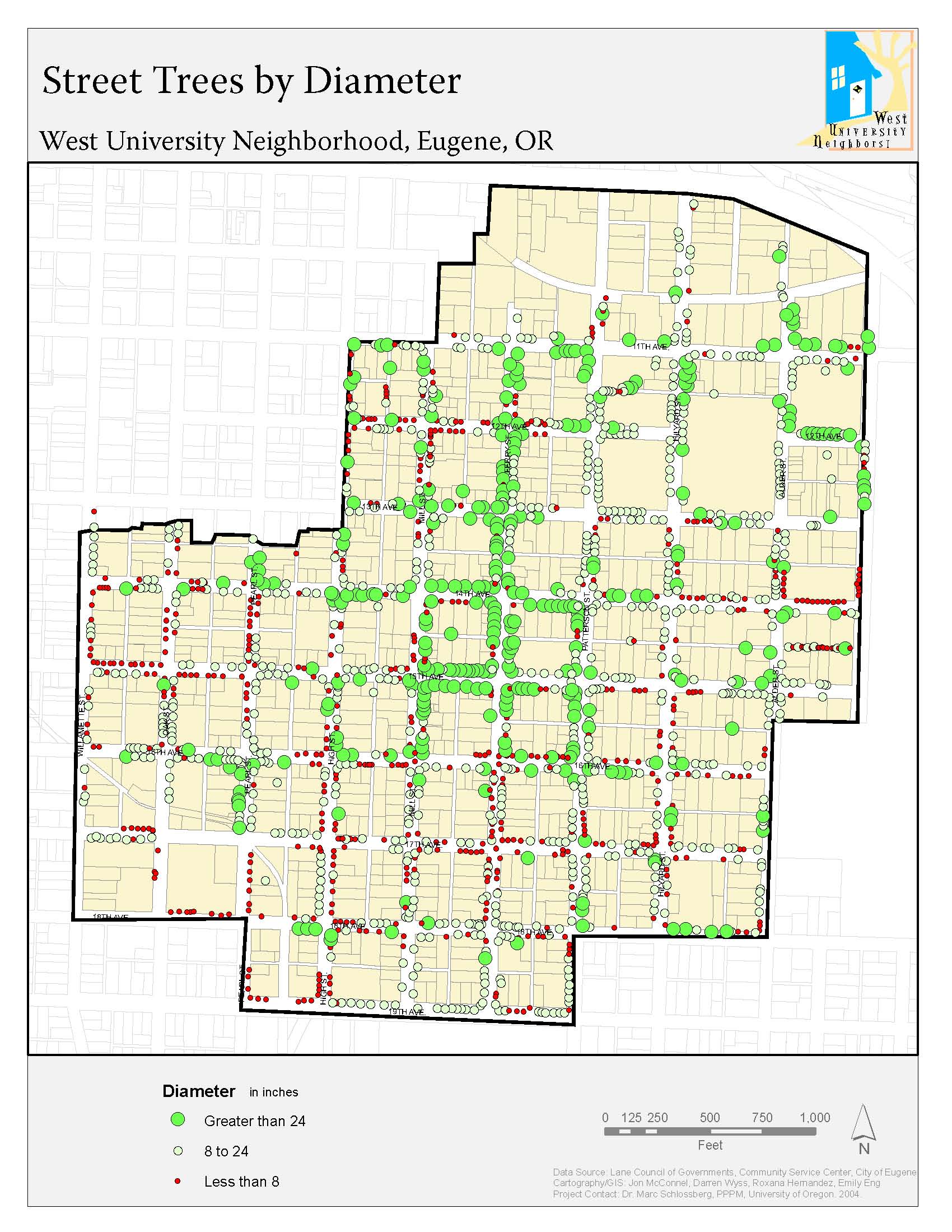
Tree Diameter
|
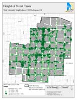
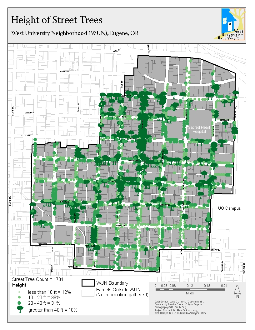
Tree Height
|
|||
|
|
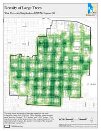
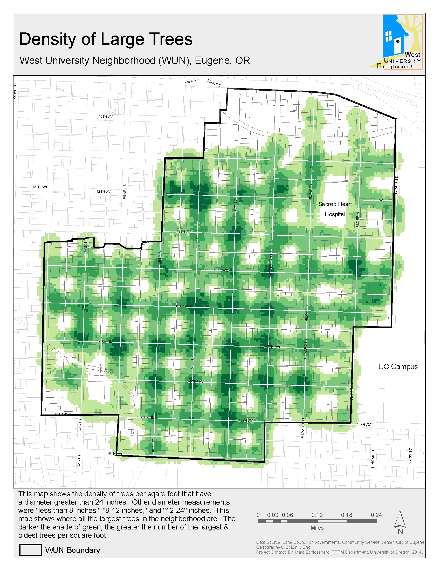
Large Trees
|
|
|||
|
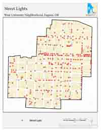
Street Lights
|
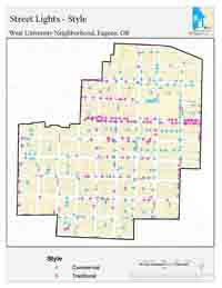
Light Type
|
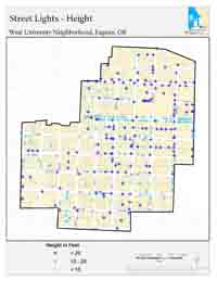
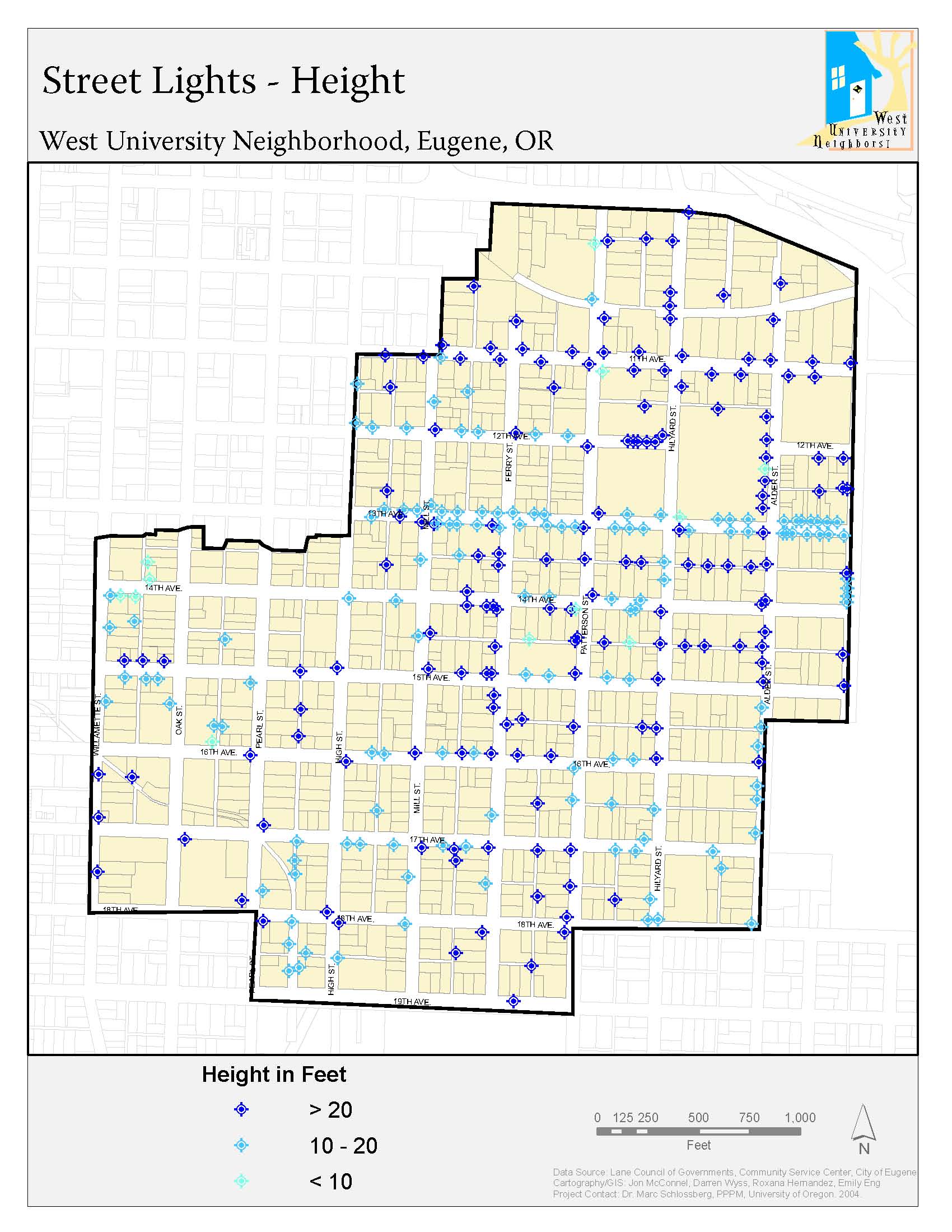
Light Height
|
|||
|
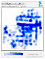
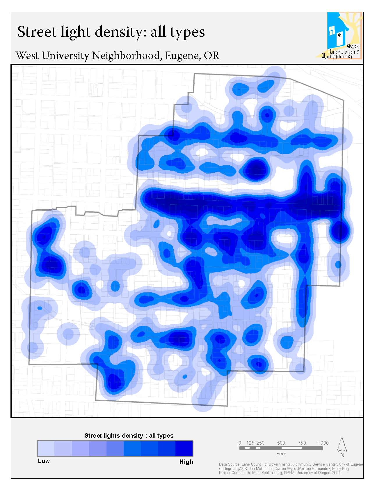
Light Density
|
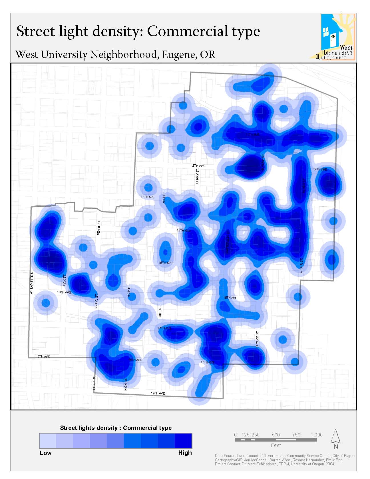
Commercial Light Density
|
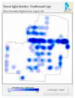
Traditional Light Density
|
|||
|
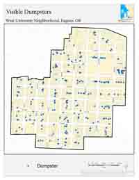
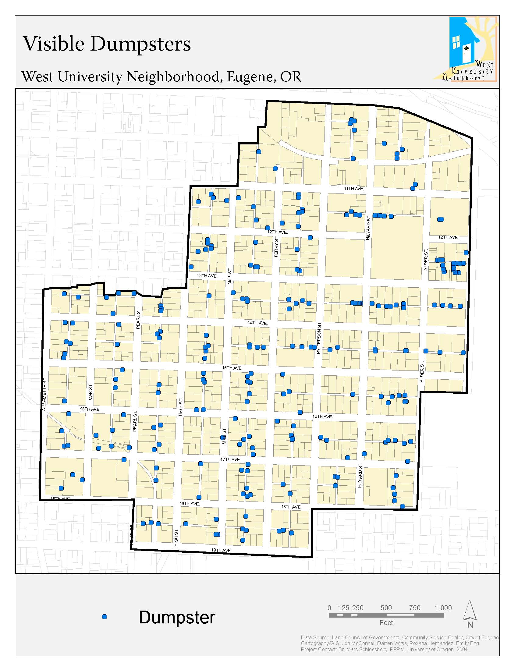
Visible Dumpsters
|
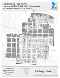
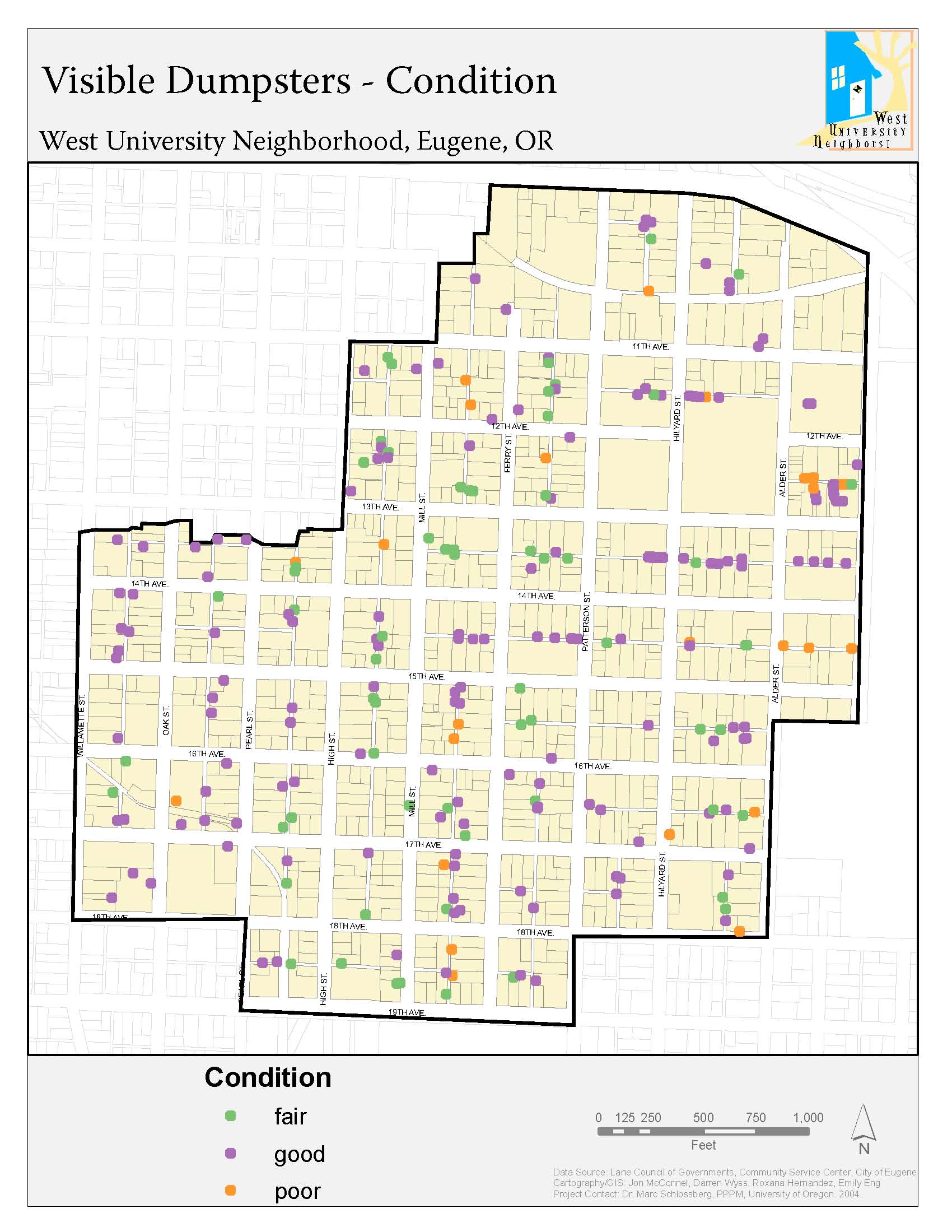
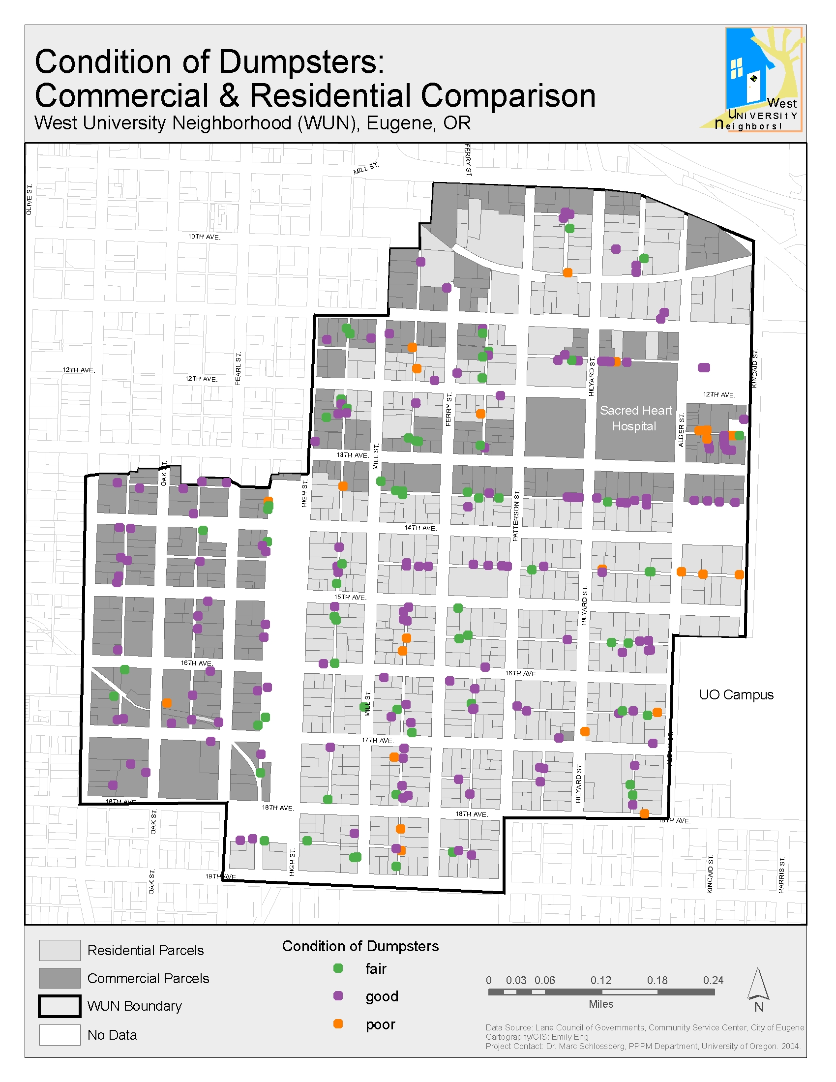
Dumpster Condition
|
Dumpster Condition 2
|
|||
|
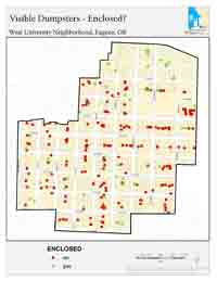
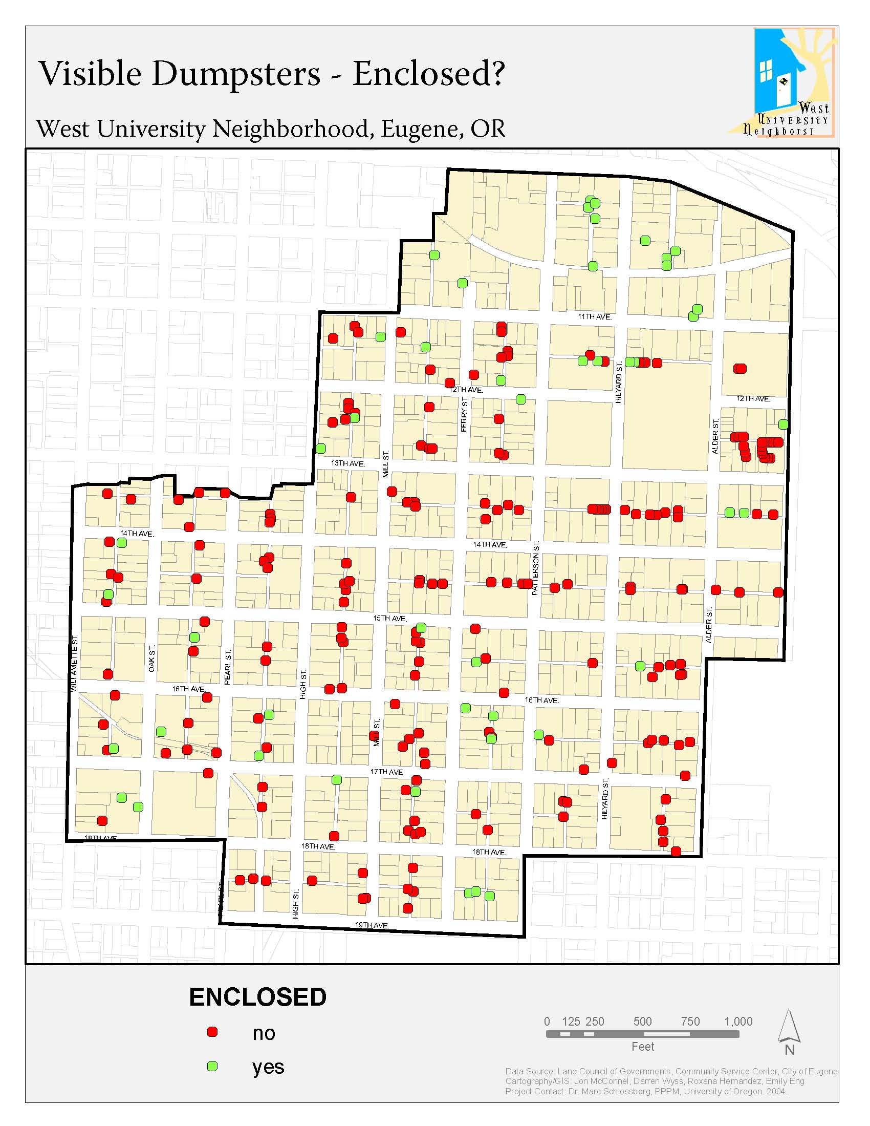
Dumpster Enclosure
|
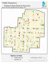
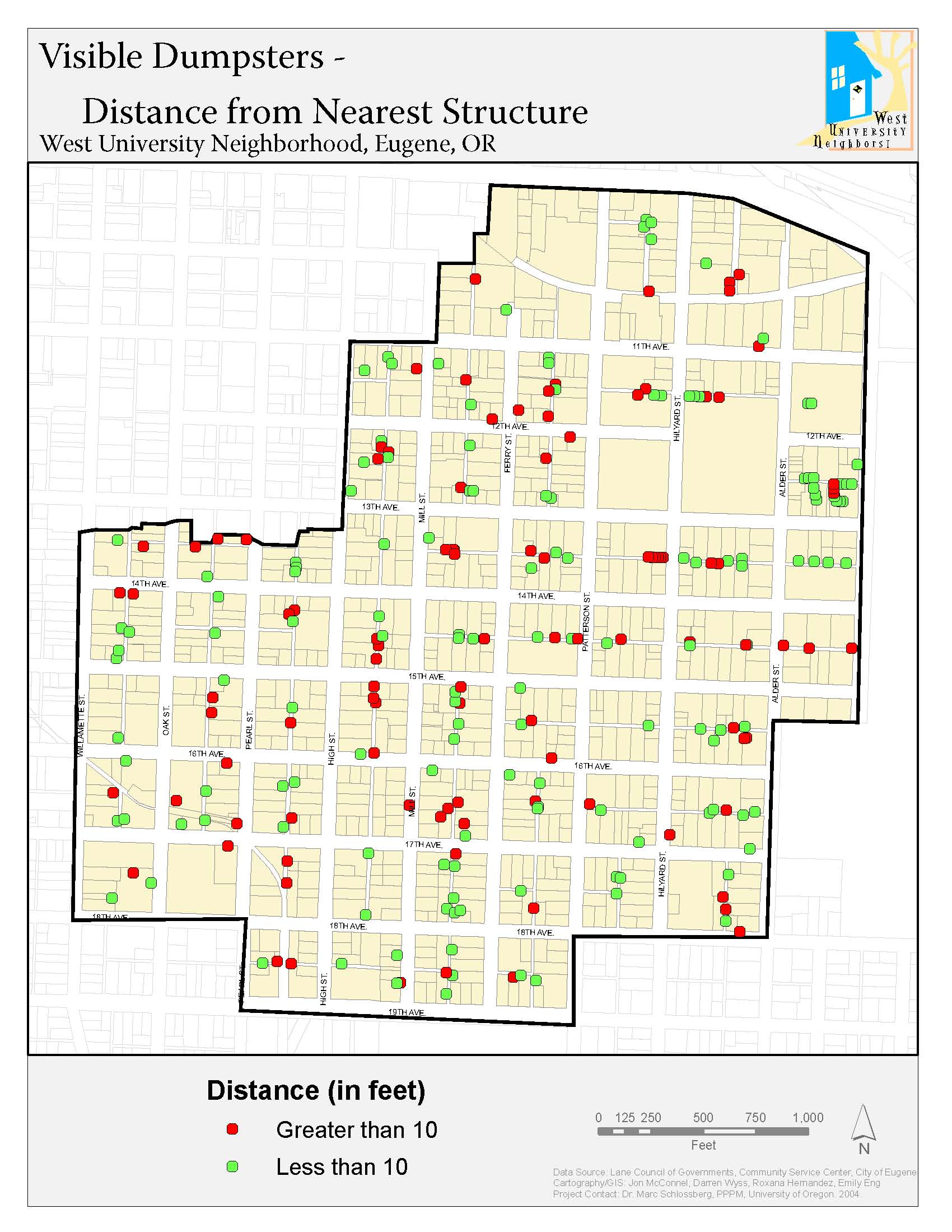
Dumpster Distance
|
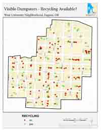
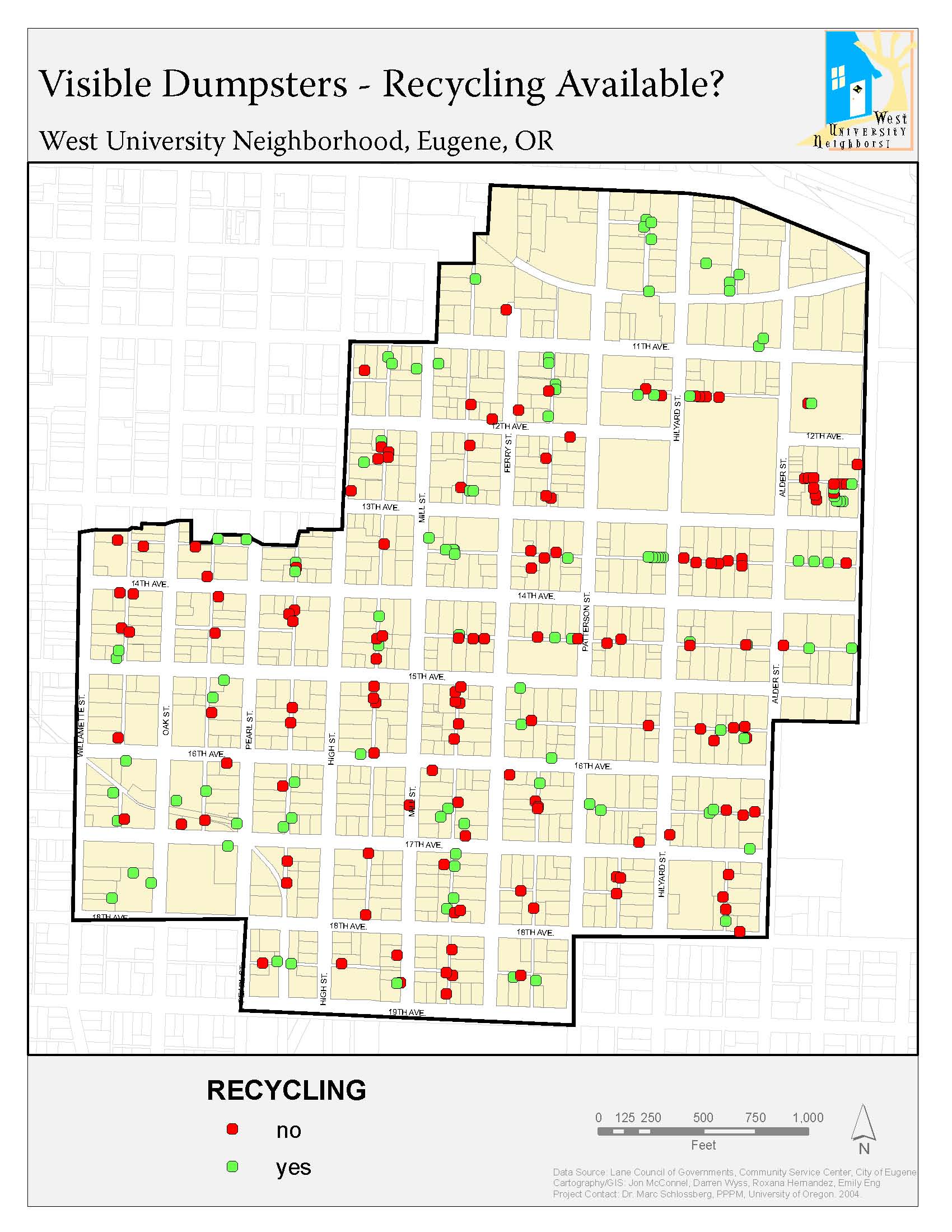
Recycling Facilities
|
|||
|
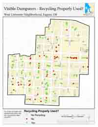
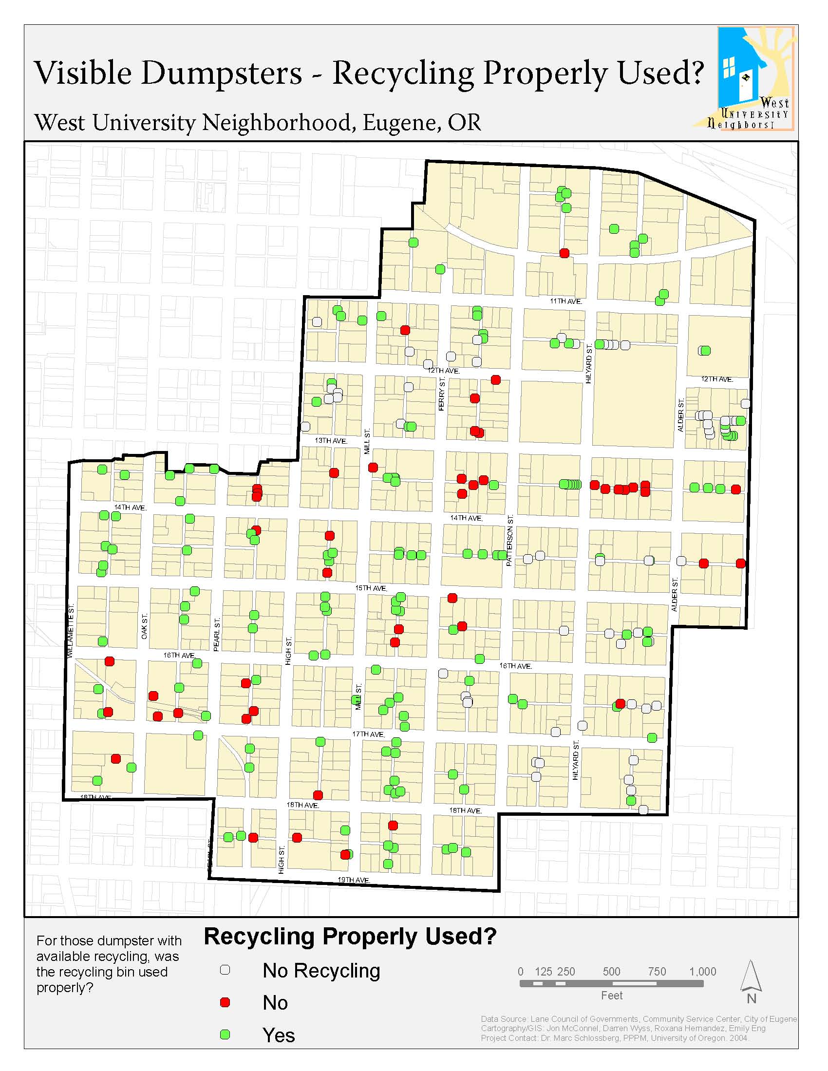
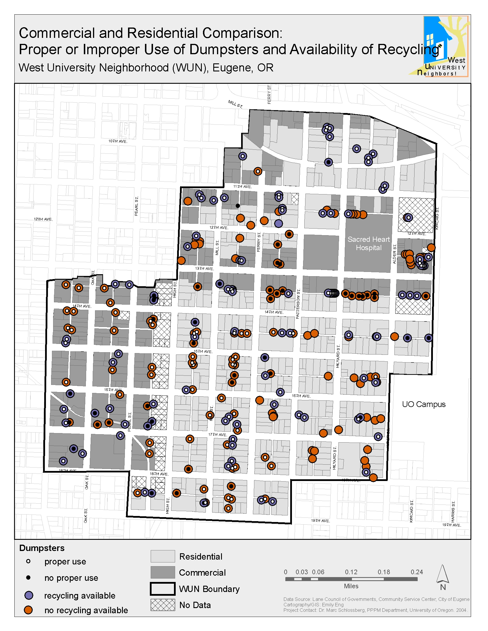
Dumpster Use
|
Dumpster Use 2
|
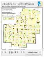
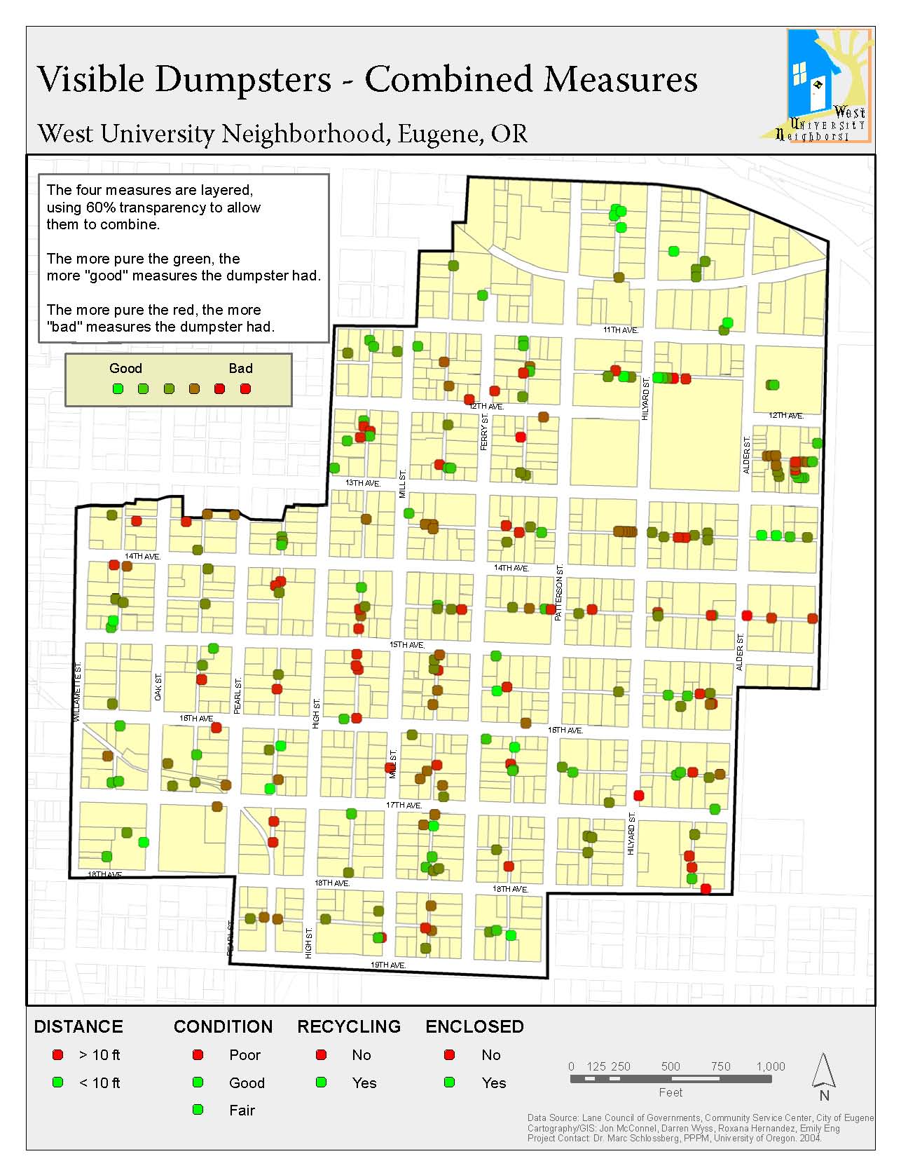
Dumpster Overall
|
|||
| Other Maps | |||||
|
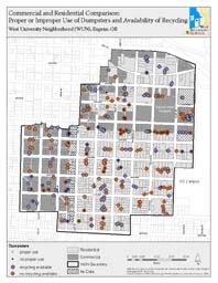
WUN Asset Map |
Residential Properties |
Housing Assessment |
|||


