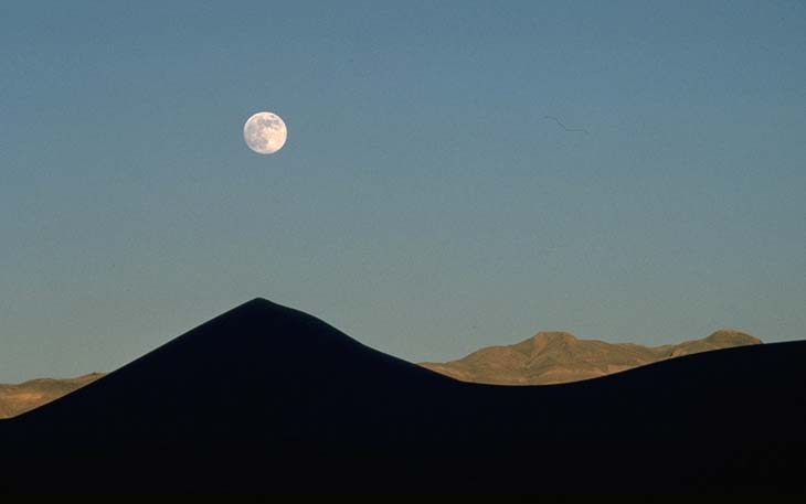
Geology


Death Valley National Park is the most arid part of the United States--it receives only 1.5 inches of rainfall per yer on average. Consequently, the geology of Death Valley is incredibly well-exposed. Not only that, but the region has experienced an unusually complex history. Among other things, it shows evidence for magmatism and fold-thrust style deformation during the Mesozoic, and a long complicated history of extension and erosion/deposition during the late Cenozoic. Furthermore, Death Valley is currently tectonically active, so it provides outstanding examples of abrupt, linear mountain ranges, fault scarps, wineglass canyons, and a host of other features. Death Valley also has evidence for very recent volcanic activity, a huge active salt pan, at least four dune fields, warm and cold springs, and its own species of fish.
In lectures, we will emphasize two things about Death Valley.
First,
we will describe the recent tectonic
activity
and how it expresses itself in the landscape. The mountains in
and around Death Valley provide wonderful examples of tilted fault
blocks. The second lecture will cover Death Valley's geologic
history. We will work out the sequence of events as shown on a simplified cross-section of Death Valley, and
then see the actual field relations on which that diagram was
based. For all its complications, Death Valley's geology
dramatically demonstrates the vastness of
geologic time.
Pictures of Death Valley wildflowers, spring, 1998, 2005.
Death Valley Slide Show (see the photos
of DV that are elsewhere on this web page)
Some other Death Valley images
back to Marli's University of Oregon homepage

Or...go to Marli's Geological
Photography site.