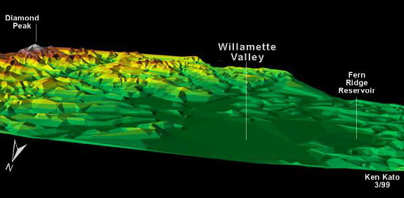
| This 3D perspective shows a sample of north central Lane County's
physiography with hipsometric shading. The view is looking south southeast at the
Willamette Valley. The image was produced in ArcVeiw 3D Analyst using USGS Digital
Elevation Models at 180 meter resolution. Labels were added using Adobe Photoshop
and Macromedia Freehand. |
|
Map Information:
Projection Lambert - Conic Conformal
Oregon State Plane South Zone, NAD 27
Units - Feet, Scale - 1: 1:000,000 |
|
|
|
|