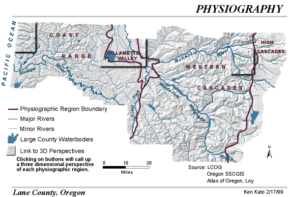
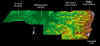
Click thumbnail for 3D
view of county |
|
Additional Source
Information:
Oregon State Service Center for GIS (SSCGIS)
Lane Council of Governments (LCOG)
Atlas of Oregon, Loy
Atlas of Lane County, Oregon, 1990 |
|
Map Information:
Projection Lambert - Conic Conformal
Oregon State Plane South Zone, NAD 27
Units - Feet, Scale - 1: 1:000,000 |
|
|
|
|