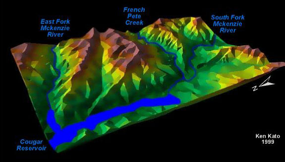
| This 3D perspective shows a sample of northeastern Lane County's
physiography with hipsometric shading. The view is looking east southeast at Cougar
Resevoir. The image was produced in ArcVeiw 3D Analyst using USGS Digital Elevation
Models at 30 meter resolution. Water features and labels were added using Adobe
Photoshop and Macromedia Freehand. |
|
Map Information:
Projection: UTM
Scale - 1: 24,000 |
|
|
|
|