 |
 |
 |
 |
 |
 |
 |
 |
 |
 |
 |
 |
 |
 |
 |
When combined with this geology, Death Valley's harsh climate makes it unique. As the hottest and driest area in North America, both its geological record and landforms are unusually visible to geologists and non-geologists alike. It is for this reason that the national park overflows with geology field trips during the spring months, and many visitors gain a deeper understanding of Earth processes.
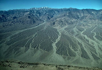
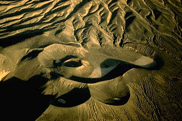
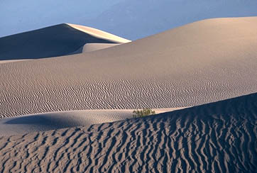
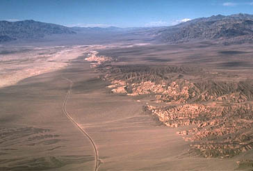
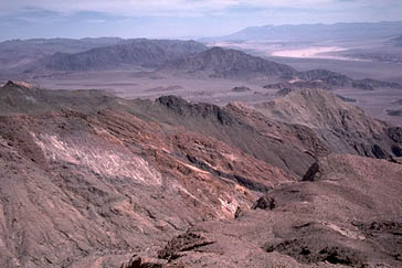
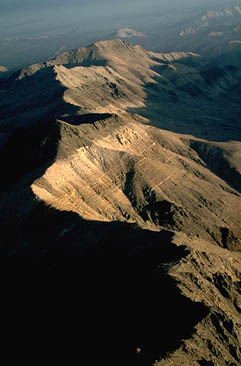
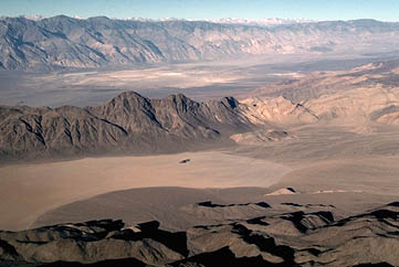
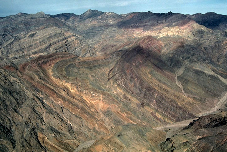
The authors of this volume represent several hundred years of collective experience working on the geology of the Death Valley region. Lauren Wright and Bennie Troxel alone have logged more than one hundred years. It is easy to see why so many geologists keep coming back: traveling through this landscape is like walking through a beautifully illustrated geology textbook, only better. The following photographs attempt to portray some pages of that textbook, but like all photographs, they fall well short of an actual visit.
Each photograph is keyed to a number on the accompanying geologic
map.
Those photographs that portray crustal extension or modern landforms
appear
in the first section while those that illustrate the older geologic
history
appear in the second section.
Click on each photo for a larger view plus text.
 |
 |
 |
 |
 |
 |
 |
 |
 |
 |
 |
 |
 |
 |
 |