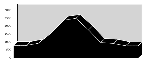
This ride is well-suited for the athletic rider who would rather ride paved surfaces than dirt. The road climbs for 11 miles and descends for 10. This ride can be done on a road bike, but because of the coarse pavement, it may be more comfortable on a mountain bike. Lost Creek Road is typical of the roads found in the western Cascade foot-hills: steep, well-maintained, and designed to haul timber. As a result, this is a good weekend ride, when logging traffic is light.
Start this ride at the Lost Creek Grocery. To get to the store, head east 10 miles from I-5 on Highway 58 to Dexter. Turn south on Lost Creek Road. The store is about 3 miles from Highway 58, on the right side of the road. From the store, ride south on Lost Creek Road. In about a mile, you will come to a fork, stay right. This identifies the beginning of Bureau of Land Management Road 20-1-10.3. Here the road turns from a wide county road, to a paved-single lane and starts a long climb. Along the way, the road levels out a few times, and even takes some short downhill plunges, but the work is not really over until the 12 mile mark. At 12 miles the road begins the long descent back to the Lost Creek Valley floor.
Shortly into the descent, the road divides. Stay left. This is Eagles Rest Road. You will come to the Eagles Rest trailhead at 14 miles. At 20 miles Eagles Rest Road meets Lost Creek Road. Turn right here to return the 0.75 mile back to the Lost Creek Grocery.
Keith Nelson
Printer Friendly Version